There are many options to costumize your map drawing in Terra Map, from adding additional layers (eg Satellite) to customize icons and texts size.
Additional layers
This is the list of the additional data you can add to the basic charts:
- Online satellite images: in the Settings page you can enable the display of the satellite images as a layer on top of the map. When enabling this layer, a slider will appear on the map display (on the lower-right) to fade the satellite images with the maps.
- Elevation contour lines: in the Settings page you can enable the display of the elevation contour lines on the map.
- Map shading: in the Settings page you can enable the display of the elevation shading on the map, when this is enabled you have a better perception of the mountains and the valleys.
Map colouring
In order to change the coloring of your map you can use the Map appearance setting in the Settings page. Here you can select among the Day or Night map drawing style; the "Auto" setting select automatically the Day or Night style depending on the device appearance (Light, Dark) setting.
NOTE: Night mode is intended to be used only in low luminosity; under direct sun or in bright conditions the contrast will be too low.
Map visibility
There is a dedicated page to select the size for most of the icons and texts present on the map and you can reach this page from the main Settings page.
Due to the different types of icons and texts, the options have been grouped in categories for clarity.
At the bottom of the page there is a Restore defaults button to restore all the icons and texts sizes to the original ones.
Map data
The first group includes all the elements that are part of the base cartography.

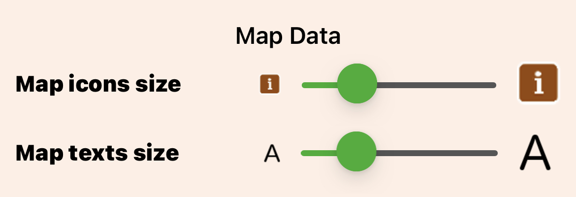
- Map icons size: to change the size of most of the icons that are part of the basic cartography. The change in size will be proportional, keeping the ratio between the different icons (smaller icons will continue to be smaller).
NOTE: not all the icons will change their size, only the ones considered "important" for the outdoor activities. - Map texts size: to change the size of most of the texts that are part of the basic cartography. The change in size will be proportional, keeping the ratio between the different texts.
User data
The next group includes all the elements that belong to the user (tours, tracks and markers).

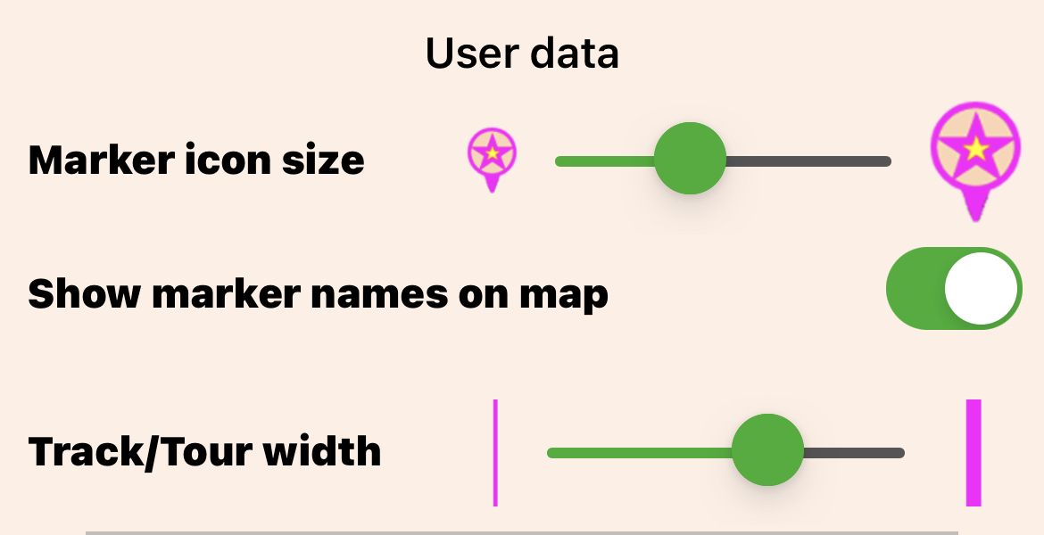
- Marker icon size: to select the preferred size of your markers and waypoints icons.
- Show marker names on map: to enable the drawing on the map of the markers name (just below the corresponding icon).
- Track/Route width: to select the preferred width for the lines representing tracks and tours on the map.
Additional data
The last group includes all the additional elements you can overlay to basic cartography.

- Live Sharing icons size: to select the preferred size for the Live Sharing icons on the map.


